Types of Surveying
Updated
Surveying is the measurement of the relative positions of points on the ground — their horizontal distances, their directions, and their levels (heights) — in order to make accurate maps and to set out proposed works on site. It's classified along two independent axes: by its purpose (how large an area and how much precision is involved) and by the method or instrument used to actually take the measurements. This page covers the main types along both axes and what each is genuinely used for.
Measure position & level
What surveying fundamentally does
Plane vs geodetic
Classified by purpose
Chain through total station & GPS
Classified by method
By purpose
- Plane surveying — treats the earth's surface as a flat plane, which is genuinely accurate enough over small areas because the earth's curvature is negligible at that scale. This covers the vast majority of building, plot and site surveys.
- Geodetic surveying — explicitly accounts for the earth's curvature, needed for very large areas and for establishing precise control networks over long distances, where ignoring curvature would introduce real, accumulating errors.
By method / instrument
| Type | Measures with | Use |
|---|---|---|
| Chain (tape) survey | A chain or measuring tape | Distances on small, fairly level plots |
| Compass survey | A prismatic compass + chain | Directions (bearings) together with distances |
| Plane table survey | A drawing board and alidade | Plotting the survey directly in the field |
| Levelling | A level + graduated staff | Heights and reduced levels (contours, drainage) |
| Theodolite survey | A theodolite | Precise horizontal and vertical angles |
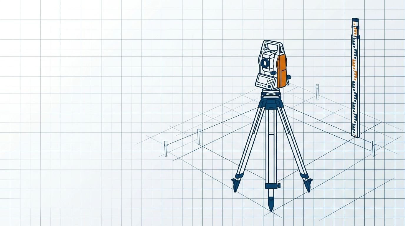
| Total station survey | An electronic total station | Angles and distances together, recorded digitally |
| GPS / GNSS survey | Satellite receivers | Coordinates over large areas |
For an ordinary plot or house, a chain/tape and a level cover most of what's needed; larger and more precise works use a total station or GPS, both of which record digital coordinates directly, saving the manual plotting and reducing transcription error.
How the two classifications interact in practice
A relative indication of typical precision by method — actual achievable accuracy depends on the instrument, the operator and the care taken, not the method alone.
The two classifications aren't independent choices made in isolation — they interact. A small plot survey is almost always plane surveying (the area is too small for curvature to matter) carried out with a simple method like a chain and level (the precision demanded is modest). A large-area control survey, by contrast, is geodetic in purpose (curvature genuinely matters over the distances involved) and uses precise methods like a total station or GPS to match. The purpose sets how much precision the job actually requires, and the method is then chosen to deliver that precision — using a total station to measure a small back garden is overkill, while using a chain and tape to establish a regional control network would accumulate unacceptable error.
What surveying is actually used for
- Measuring a plot and computing its area — convert the result with the area calculator and the land-unit converters.
- Setting out the building lines and column centres accurately from the drawings onto the actual ground before construction begins.
- Levelling to establish drainage gradients, plinth levels and road slopes correctly.
- Preparing contour maps of the ground to understand its shape and plan cut-and-fill.
Frequently asked questions
What are the types of surveying? By purpose: plane surveying (small areas, with the earth treated as flat) and geodetic surveying (large areas, allowing for the earth's curvature). By method: chain, compass, plane table, levelling, theodolite, total station and GPS surveying.
What is the difference between plane and geodetic surveying? Plane surveying treats the earth's surface as a flat plane, which is accurate enough for small areas like plots and buildings. Geodetic surveying explicitly accounts for the earth's curvature and is used for very large areas and precise control networks where curvature would otherwise introduce real error.
What is levelling in surveying? Levelling measures the heights (reduced levels) of points using a level instrument and a graduated staff. It's used to establish contours, drainage gradients, plinth levels and to set out slopes correctly.
What is a total station, and why is it preferred for modern surveys? A total station is an electronic instrument that measures horizontal and vertical angles together with distances and records them digitally. That combination makes it fast and accurate, and the digital record reduces the transcription errors that manual reading and plotting introduce.
Which survey is used to measure a plot? A chain or tape survey together with levelling covers most ordinary plot measurement. Where higher accuracy and a digital record are wanted, a total station or GPS survey is used instead.
CivilSite Editorial Team✓ Engineer reviewed
Written and reviewed by practising civil engineers with 10+ years of Indian residential construction experience.